
Why You Should Attend the 5th Annual Drones, AI & GIS for Disaster Risk Reduction Southern Africa Conference & Workshop
- 12 hours ago
- 3 min read
Disaster risk reduction is no longer only about responding after an event has happened. Today, the focus is shifting towards smarter planning, faster decision-making, better data, and the use of technology to protect communities before, during and after disasters.
The 5th Annual Instalment of the Drones, AI & GIS for Disaster Risk Reduction Southern Africa Conference & Workshop will take place from 24–26 November 2026 at the Radisson Blu Hotel in Umhlanga, KwaZulu-Natal.
This important industry gathering brings together professionals, decision-makers, technology providers, emergency response teams, municipalities, researchers, and disaster management stakeholders to explore how drones, artificial intelligence and geographic information systems can strengthen disaster risk reduction across Southern Africa.
A Practical Event for a Changing World
Across Africa, communities are facing increasing pressure from floods, fires, storms, infrastructure challenges, environmental risks and climate-related emergencies. These events require more than traditional response systems. They require accurate information, real-time visibility, coordinated planning and the ability to act quickly.
This conference has been designed to create meaningful conversations around practical solutions.
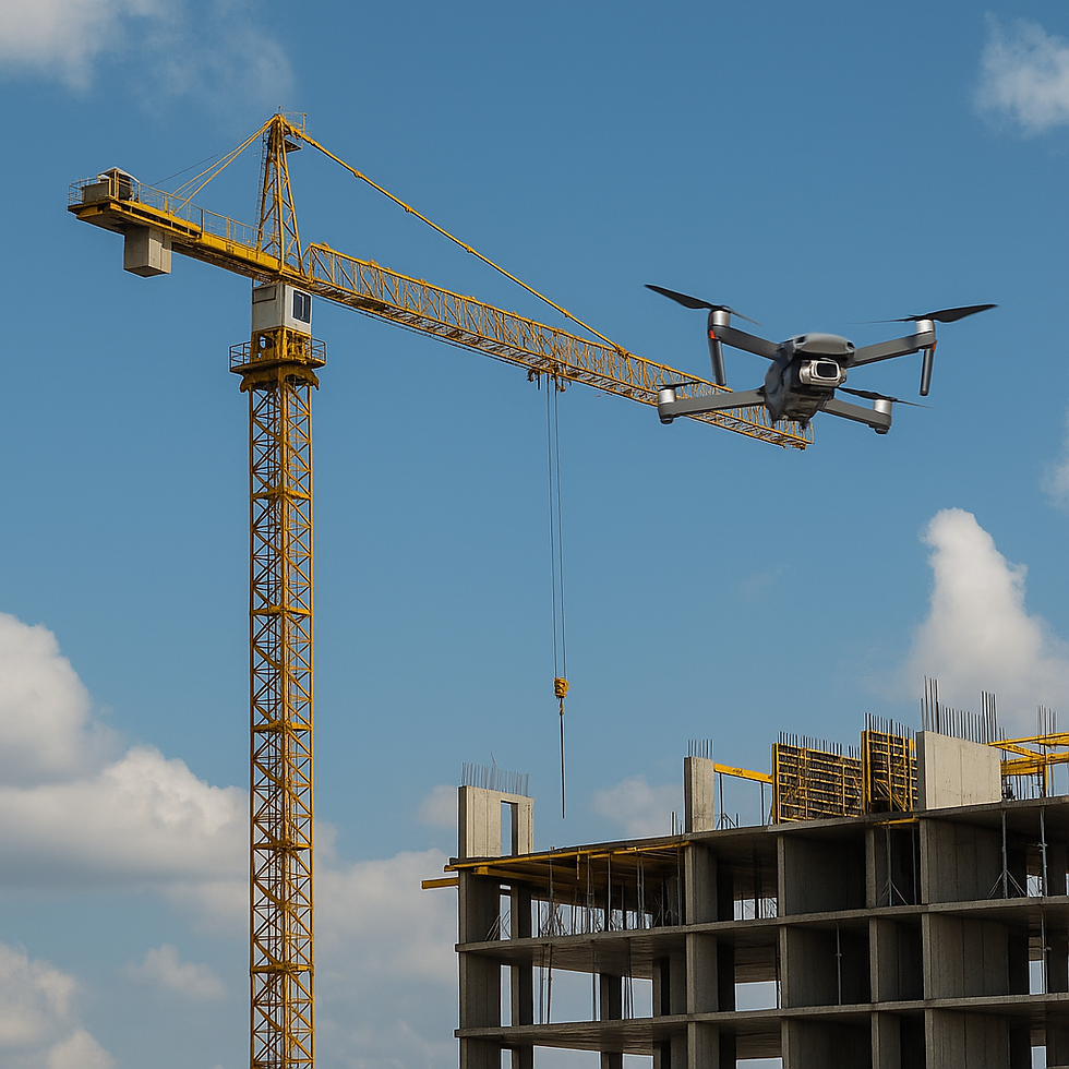
Delegates will gain insight into how drone technology can support aerial assessments, mapping, search and rescue support, infrastructure inspections, environmental monitoring and emergency response planning. The event will also explore the growing role of AI and GIS in identifying risk areas, analysing data, improving response times and supporting better decision-making.
Why This Conference Matters
Technology is changing the way disaster risk reduction is planned and delivered. Drones can reach areas that may be difficult, unsafe or time-consuming for ground teams to access. AI can help process large amounts of information quickly. GIS can turn complex data into clear visual maps that support planning, reporting and response coordination.
When these tools work together, they can help disaster management teams move from reactive response to proactive risk reduction.
The conference provides a platform for learning, collaboration and practical engagement. It is not only about showcasing technology. It is about understanding how these tools can be applied responsibly and effectively in real-world Southern African environments.
Who Should Attend?
This event is ideal for disaster management professionals, drone operators, GIS specialists, emergency response teams, government departments, municipalities, researchers, environmental specialists, infrastructure managers, insurers, safety professionals, technology companies and organisations involved in risk planning or community resilience.
It is also valuable for organisations looking to better understand how data, automation and aerial technology can improve safety, reduce risk and support faster decision-making.
What Delegates Can Expect
Delegates can look forward to a focused conference and workshop environment that encourages knowledge-sharing, practical discussion and professional networking.
The event will create opportunities to engage with industry experts, explore emerging technologies, understand real-world applications, and connect with stakeholders who are actively involved in disaster risk reduction, drone operations, AI-driven analysis and geospatial intelligence.
Whether you are already working in the disaster management space or exploring how technology can support your organisation, this event offers valuable insight and direct access to people shaping the future of disaster risk reduction in the region.
Building Safer and More Resilient Communities
The future of disaster risk reduction depends on collaboration. No single organisation, technology or department can solve these challenges alone. Stronger outcomes come from bringing the right people, tools and ideas together.
The 5th Annual Drones, AI & GIS for Disaster Risk Reduction Southern Africa Conference & Workshop is an opportunity to be part of that conversation.
By attending, you are not only investing in professional knowledge. You are contributing to a broader movement towards safer communities, better preparedness and more resilient systems across Southern Africa.
Book Your Place
Join us from 24–26 November 2026 at the Radisson Blu Hotel, Umhlanga, KwaZulu-Natal.
For registration, programme details and conference updates, visit:
Be part of the conversation shaping the future of disaster risk reduction in Southern Africa.


Comments